Dam-Break Physics & Emergency Preparedness: The Unavoidable Conversation
Breach hydrographs, inundation maps and arrival times are not academic exercises. They are the numbers that define whether a community downstream has minutes or hours — and whether the emergency plan is real or theatre.
The physics nobody wants to talk about
When a tailings dam fails, the wave that leaves the breach is not like a water-dam failure. Tailings have rheology. They shear, they entrain, they sometimes flow like a debris flow for kilometres, and they sometimes stop abruptly as the flow dewaters. The result is that arrival time, inundation depth, and reach are simultaneously uncertain and decision-critical.
The classical approach — pick a breach geometry, pick a runout model, hand off an inundation map — was never wrong. But it was never enough either. Modern practice, and GISTM explicitly, demands that we treat dam-break analysis as a range of credible scenarios, not a single line on a map.
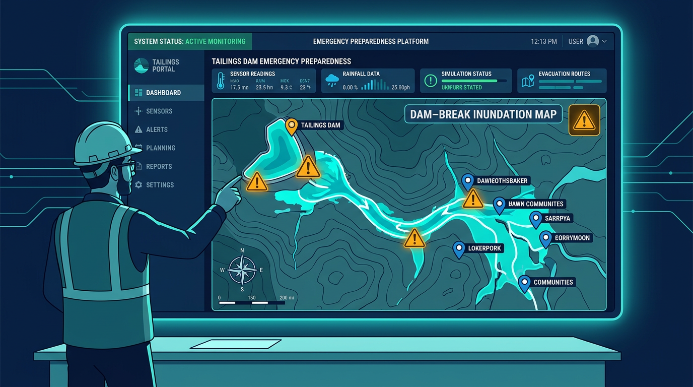
GISTM Principle 14: an Emergency Preparedness and Response Plan (EPRP) requires scenarios, communication protocols, drills and — crucially — clear coordination with external responders and affected communities. Principle 13 ties this to consequence classification.
What a defensible dam-break study looks like today
- Multiple credible breach scenarios. Sunny-day, overtopping, seismic, liquefaction. Each with a defensible breach geometry and an honest uncertainty range.
- Realistic rheology. Whether using Bingham, Herschel-Bulkley or a calibrated empirical model, the parameters must match the tailings on site — not a textbook.
- High-resolution terrain. LiDAR is table stakes. Runout is exquisitely sensitive to downstream bathymetry and built environment.
- Arrival times at every point of interest. Not just "the village" — every bridge, every road crossing, every school. Arrival time is the currency of evacuation.
- Communicable outputs. The community and responders do not need a PDF with contour lines. They need street-level, time-stamped maps that answer "where do I go, right now, for how long?"
The EPRP failure modes we see most often
- Plans written for auditors, not responders. 400-page EPRPs that nobody has ever run a drill against.
- No multi-language protocols. Facilities in communities whose first language is not the operator's corporate language. Emergency instructions translate poorly under stress.
- Siren-only warning. A single siren is a single point of failure. Redundant channels (SMS, loudspeaker, community brigades, app alerts) are the expectation in 2026.
- No joint drill with public responders. Civil defense, police, hospitals and fire brigades need a practiced handover.
Where AI and data discipline help — ethically
We use GISTM.ai to keep the EPRP living: monitoring feeds feed the live risk picture; inundation outputs are linked to community rosters and response assets; drill after-action reports flow back into plan updates. An EPRP under version control, with evidence of actual rehearsal, beats any amount of well-designed static PDF.
For Brazilian operators specifically, PAEBM.ai turns the ANM Resolution 95/2022 obligations into a structured, auditable plan — checking each required section (breach scenarios, communication protocols, drills, downstream coordination) against your existing documentation and flagging gaps before the regulator does. And during routine inspections of the dam itself, SiteVisits.ai standardises field observations against GISTM Principle 12 expectations, so EoRs and ITRBs see consistent evidence cycle after cycle.
But people-first applies especially here: AI cannot call the evacuation. A named human — with authority, training and access to the comms chain — makes the call. AI just makes sure the human has the facts three minutes faster.
Related reading
- Blog: The observational method for tailings dams
- Blog: Engineer of Record under GISTM
- Case: Reliable Assurance framework & Health Index
- Agent: PAEBM.ai — AI pre-audit for ANM 95/2022 emergency action plans
- Agent: SiteVisits.ai — AI co-pilot for tailings dam inspections
- Service: GISTM consulting & gap analysis